Weather Warnings Archive: Monday 17 Feb 2025 09:51 GMT - UK


00:00-06:00

06:00-12:00

12:00-18:00
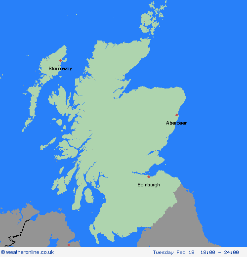
18:00-24:00


Severe Weather Warnings: Snow/Ice
issued by the Metoffice at
09:51, 17.02.2025
valid from
03:00, 18.02.2025
until
12:00, 18.02.2025
Region: Strathclyde
Snow flurries will probably turn heavier for a time during Tuesday morning, leading to a covering of snow in some places. Most likely in the 0-1cm range in lowland areas, whilst 1-5cm is possible in places above 200m. In addition, freezing rain, especially in the southern part of the region, is likely to cause icy surfaces in a few places and could make for difficult driving conditions, even on treated roads. Freezing rain and snow is expected to ease by Tuesday afternoon, with conditions improving. What Should I Do? Snowy, wintry weather can cause delays and make driving conditions dangerous. Keep yourself and others safe by planning your route, giving yourself extra time for your journey. Check for road closures or delays to public transport and amend plans if necessary. If driving, make sure you have some essentials in your car in the event of any delays (e.g., warm clothing, food, water, a blanket, a torch, ice scraper/de icer, a warning triangle, high visibility vest and an in-car phone charger). Give yourself the best chance of avoiding delays by checking road conditions if driving, or bus and train timetables, amending your travel plans if necessary. Keep yourself and your family safe when it is icy. Plan to leave the house at least five minutes earlier than normal. Not needing to rush, reduces your risk of accidents, slips, and falls. If you need to make a journey on foot, try to use pavements along main roads which are likely to be less slippery. Similarly, if cycling, try and stick to main roads which are more likely to have been treated.
Chief ForecasterSnow and freezing rain may make for difficult driving conditions, especially over higher routes.
The public is advised to take extra care, further information and advice can be found here: http://www.metoffice.gov.uk/weather/uk/links.html


17.02.2025